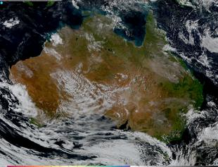
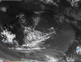
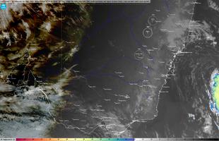
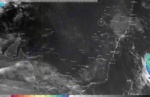
Australia

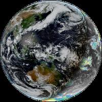
North and South America


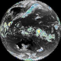
Pacific


Asia
6k x 4.8k image, 2.5 minute time resolution


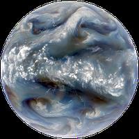
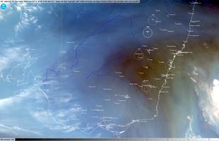
Europe / Africa


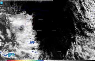
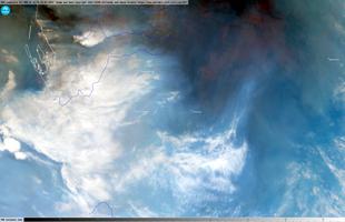
Target areas
Native 2k x 2k resolution in geostationary projection
2.5 minute time resolution


Native 2k x 2k resolution in geostationary projection
1 minute time resolution


Native 2k x 2k resolution in geostationary projection
1 minute time resolution


Native 2k x 2k resolution in geostationary projection
1 minute time resolution


Native 2k x 2k resolution in geostationary projection
1 minute time resolution


Native 10k x 6k resolution in geostationary projection
5 minute time resolution


Native 10k x 6k resolution in geostationary projection
5 minute time resolution
Native 10k x 6k resolution in geostationary projection
5 minute time resolution


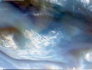
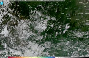
Other areas


Mercator projection
2.5 minute time resolution


Full Disk images